This page is under construction. Its intent is to provide
an overview of NY state geography and government
structures at the state, county and local levels. Valuable
points of contact and on-line resources will also be
made known.
It is tailored to be a source of information for those who
may be considering, or those who have been, assigned
location in the state.
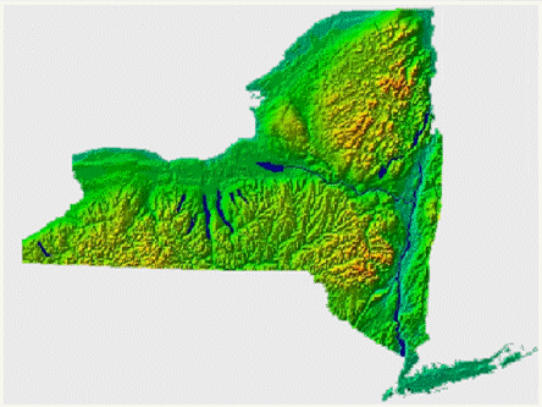
New York is relatively large, with a significant
population, major urban centers, and a varied
geography - from the Atlantic Ocean to the Great
Lakes, the Adirondack / Catskill Mountains, and
significant expanses of farming land.
New York State General Information
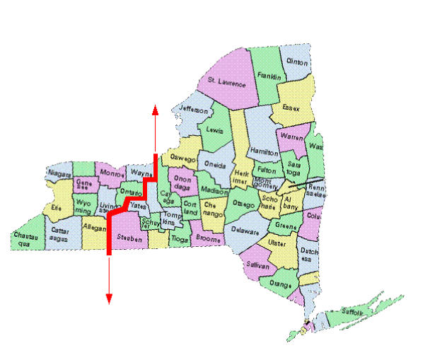
"Western New York" (WNY) is a frequently used term that is casually used by New
Yorkers, but somewhat confusing to someone who is not familiar with the state. As
a general description , its northern border consists of the western half of Lake
Ontario, and and Lake Erie to the west.
The southern border is the Pennsylvania state line. The eastern border runs
roughly southwest from Lake Ontario to the Penn state line, along the borders of
four of its counties The cities of Buffalo and Rochester are the largest urban
centers, and Niagara falls its most famous tourist attaction. Several
Reservations for various Native American tribes are spread throughout
the area.


© Lorem ipsum dolor sit Nulla in mollit
pariatur in, est ut dolor eu eiusmod lorem